Discover the lanes, river and people of Rossett
Walk the footpaths along the River Alyn, look up who lived here in 1911 and 1939, and see how the village has coped with its floods.
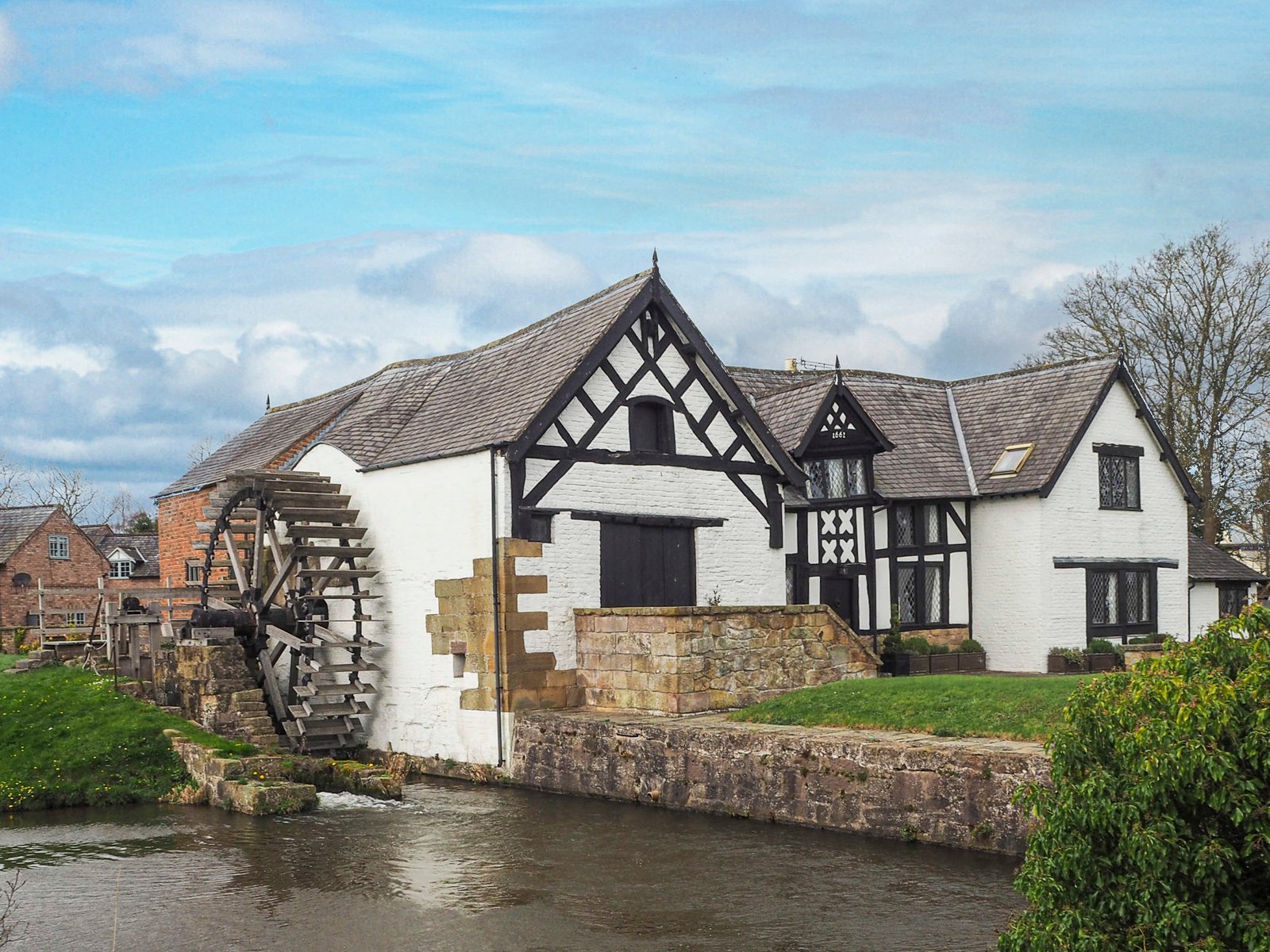
Where would you like to start?
Six ways into the village — pick whatever catches your eye.
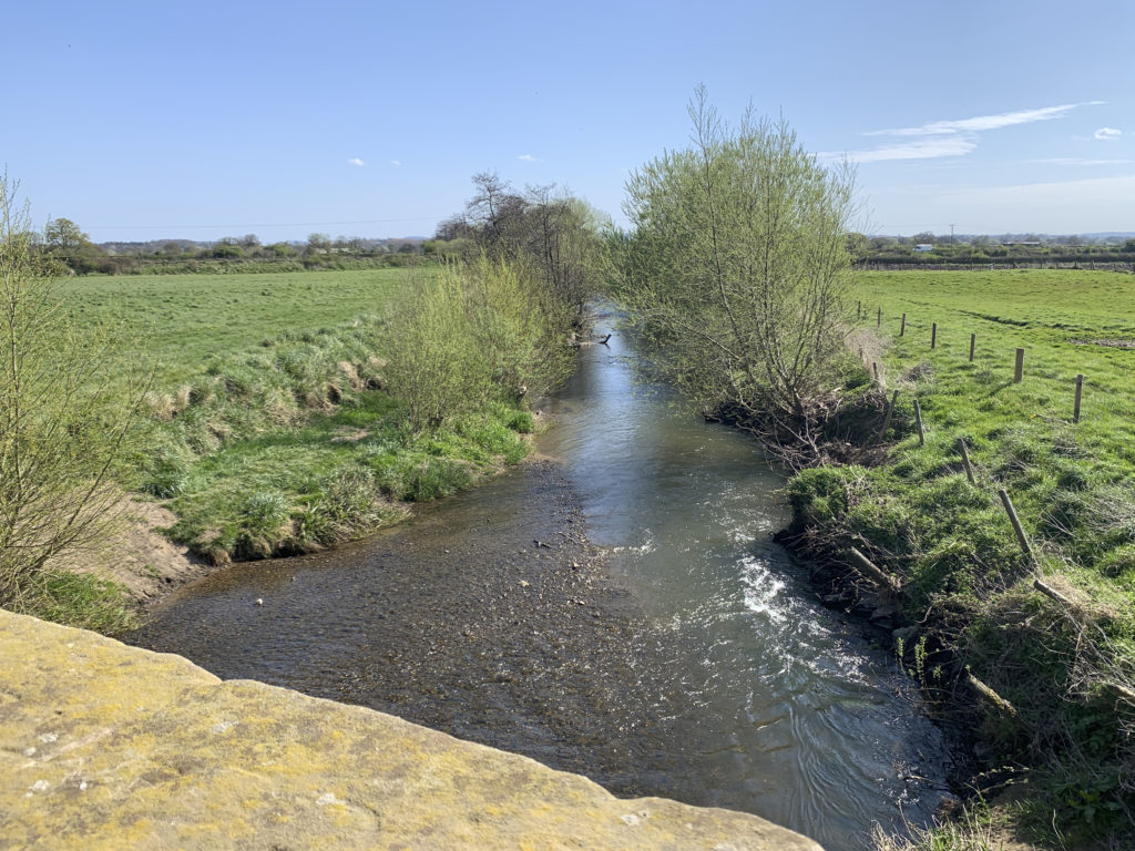
Heritage Walks
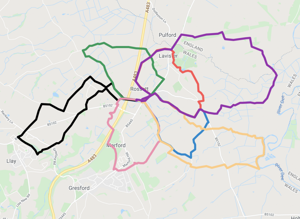
Five mapped routes from Station Road, 3.8 to 5.8 miles, with GPX downloads.
Choose a walk →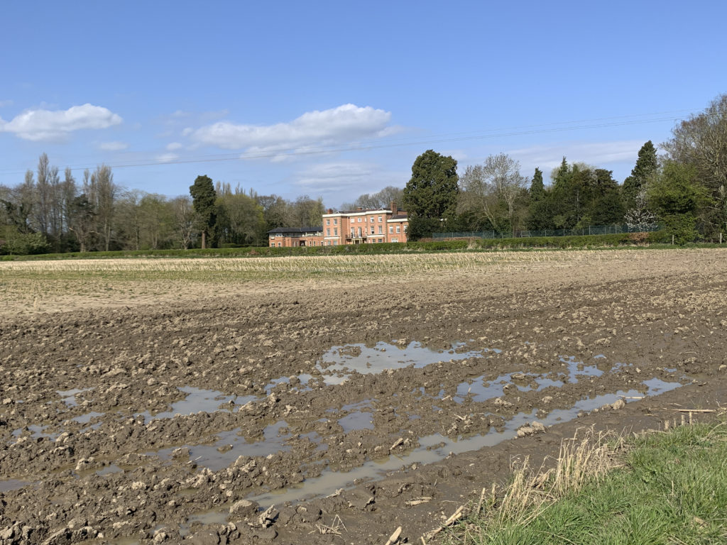
Places on the Walks
The story behind Darland Hall, Trevalyn, the mill and the landmarks you pass.
Read the histories →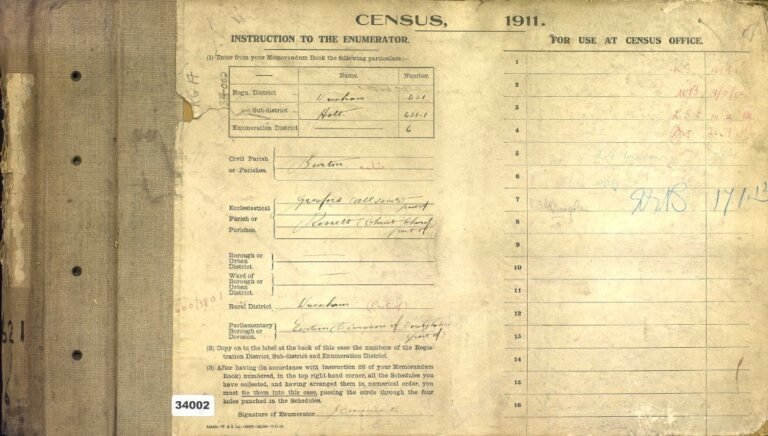
The 1911 Census
Who lived in Rossett on census night 1911 — households, trades and houses.
Search the census →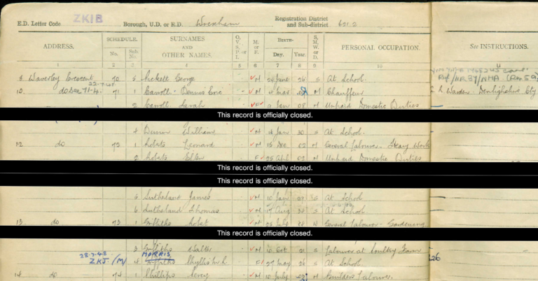
The 1939 Register
The village on the eve of the Second World War, recorded house by house.
Look up the register →
Rossett Schools
Class photos from Darland School and the Station Road school. Spot anyone you know?
See the photos →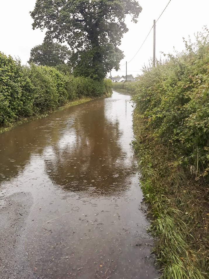
Floods — A Potted History
From the 1950s springs to the floods of 1976, 2000 and 2019.
Read the history →Five walks from the Station Road car park
All start from the free car park, all have a route map and a GPX file for your phone. Most take under two hours.
When the Alyn rises
Rossett sits beside the River Alyn, and the village has a long memory of its floods. Local records give the story.

Six faces still without a name
Eilene, Vera, Glenis, Nesta and the rest of the 1949 cookery class are named — but six girls aren’t. If you recognise someone, or have old photos and memories of Rossett to share, we’d love to hear from you.