Goto an overview of our walks and a brief history of the places that you might pass on route.
Heritage Walks & Places
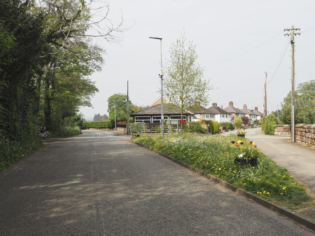
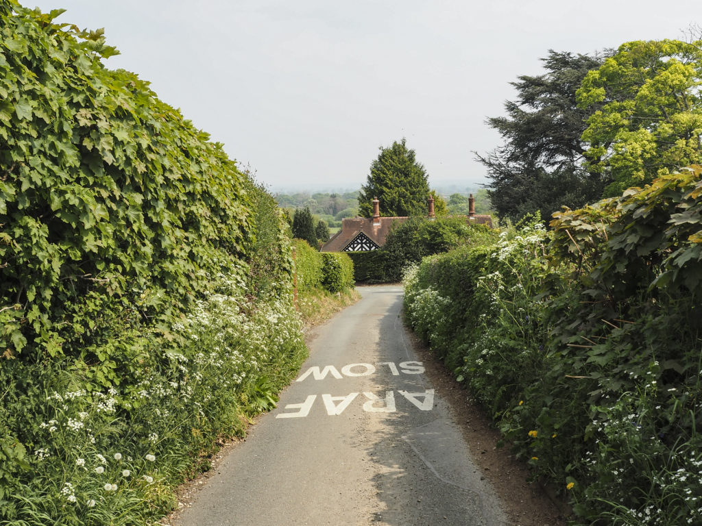
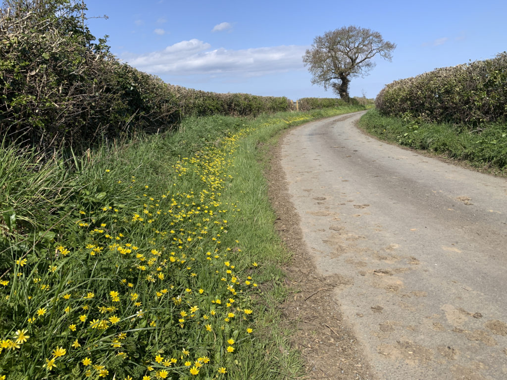
1. Manor Lane & Cooks Bridge – 3.8 miles (easy)
An easy 3.8 mile walk starting in Rossett and taking in Manor Lane and Cooks Bridge. If you want reduce the distance, divert via the the 2 footpaths Crabmill Farm to Daisy Lane and Cooks Bridge to Harwoods Lane (see green dotted lines on map).

A GPX file of the route can downloaded here
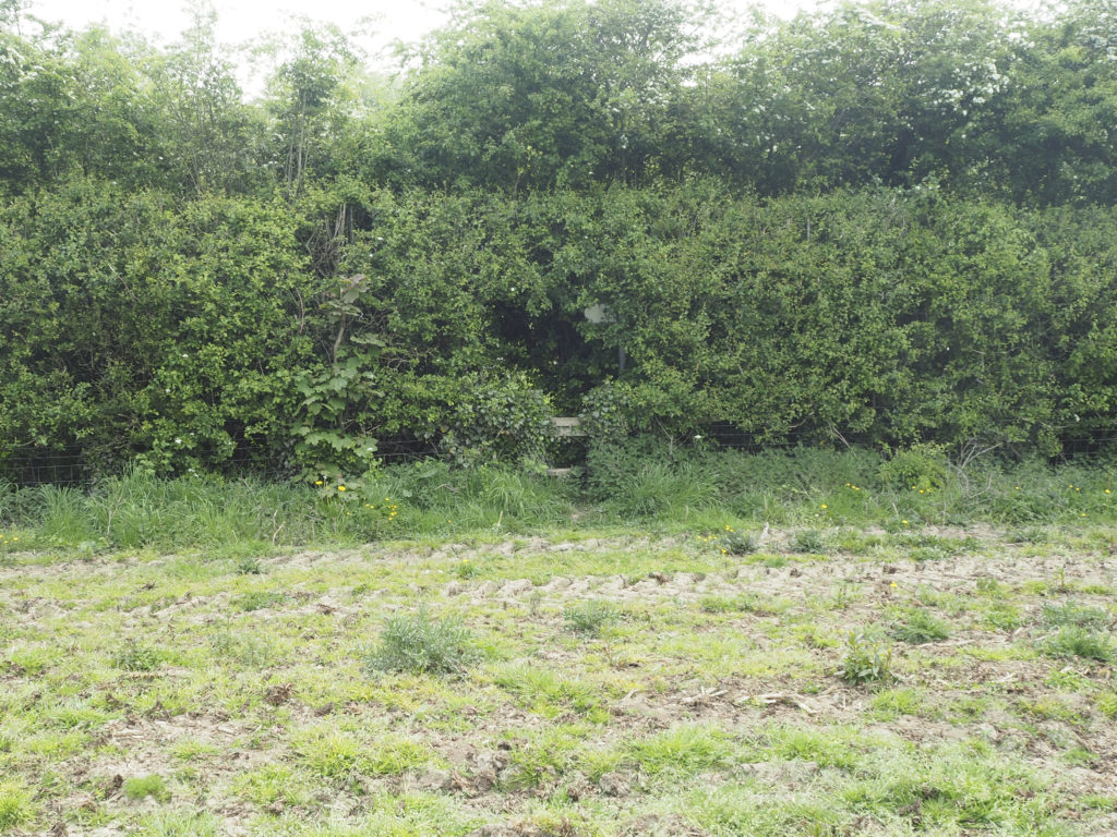
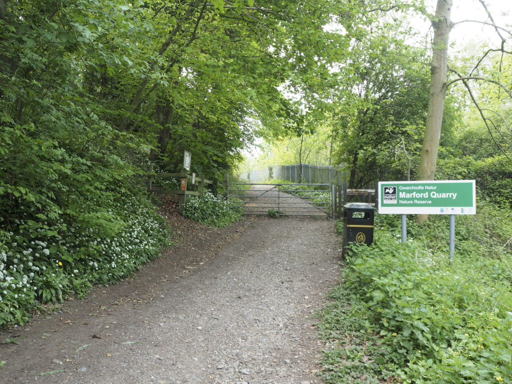
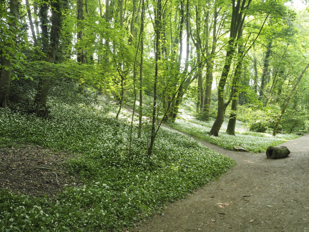
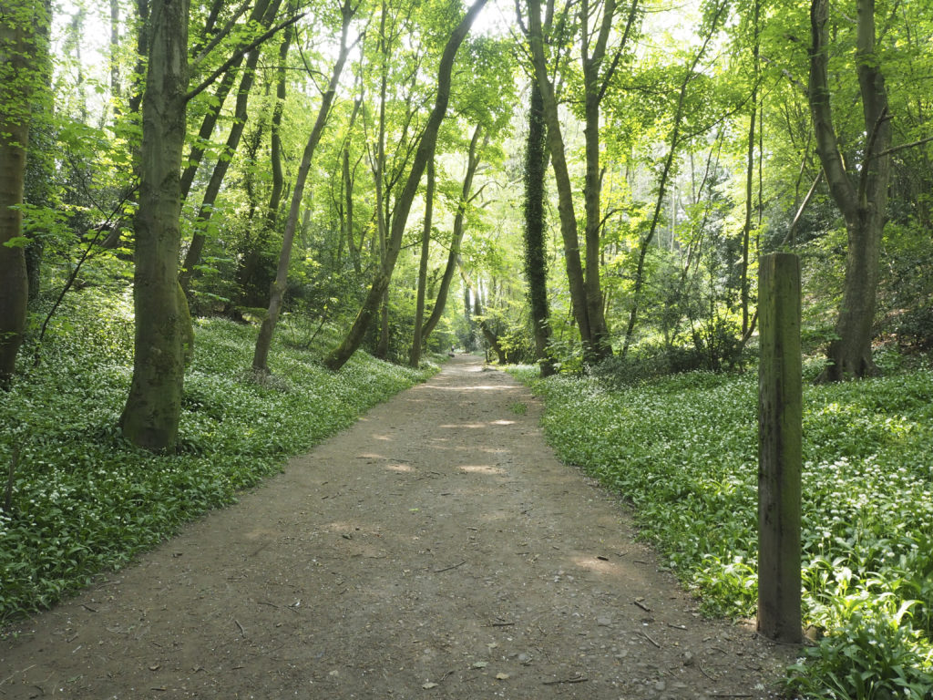
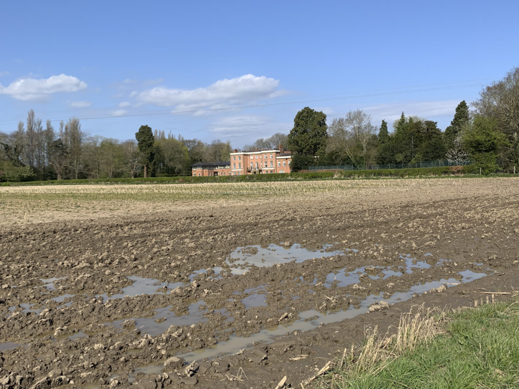
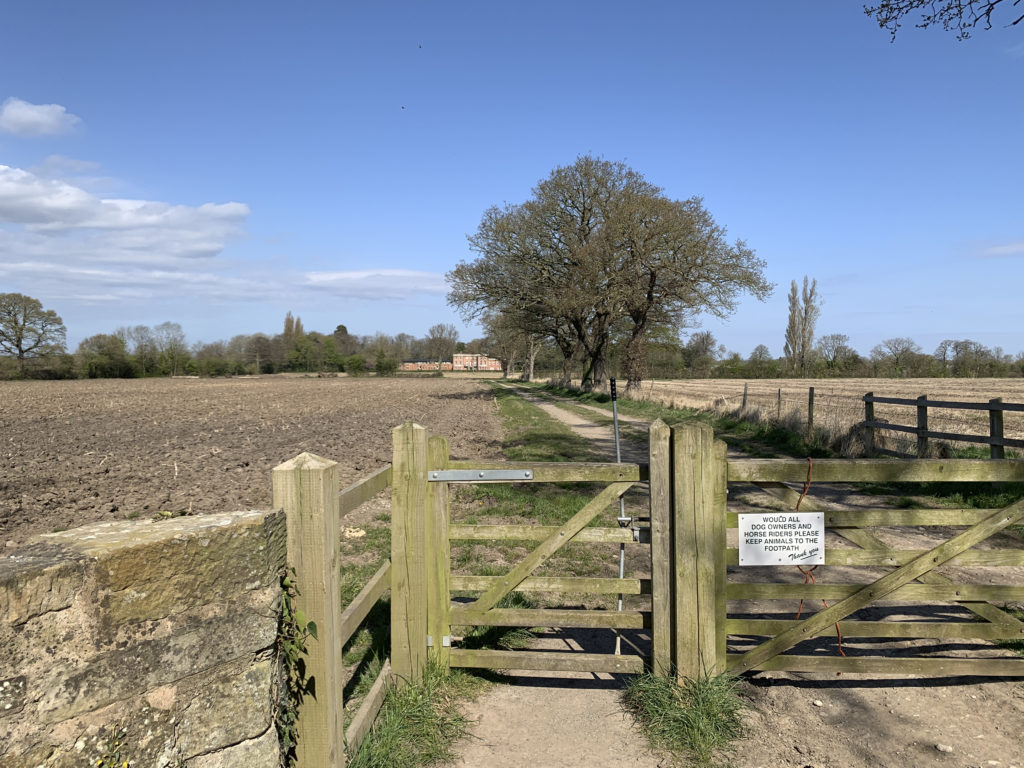
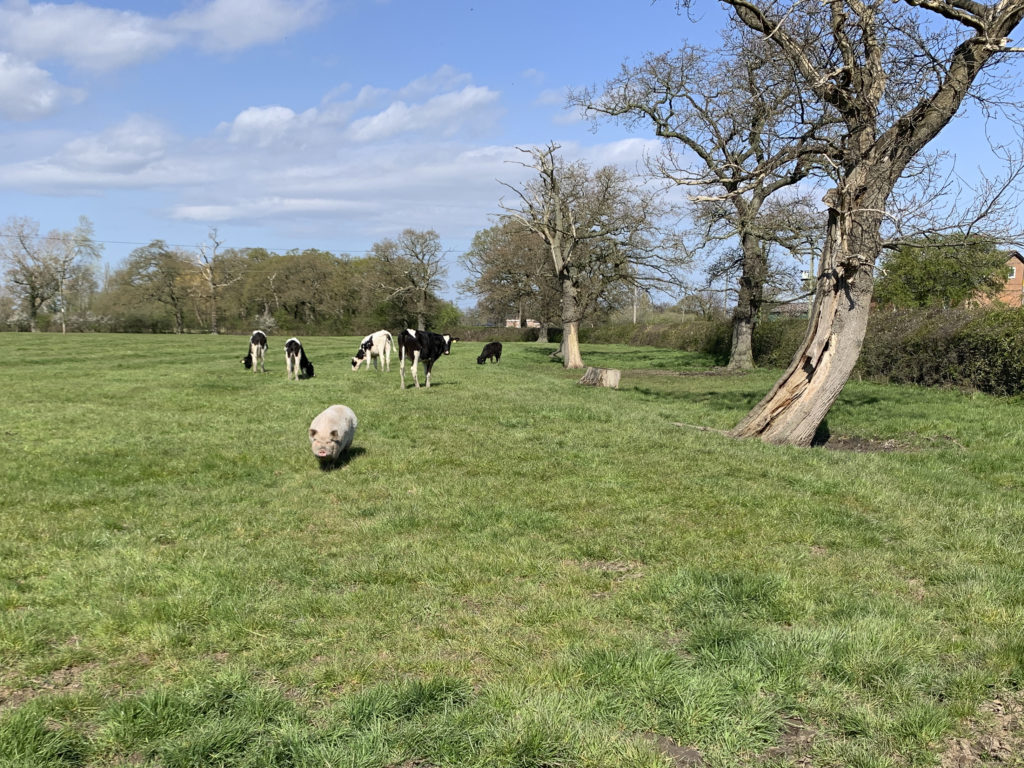
Gallery of Photographs – click any photo to commence slide show
More Details of This Walk at Outdooractive
2. Rossett to Burton and Llay – 5 miles (easy to moderate)
Burton to Llay and back across country. Approx 5 miles allow 2 hours. Start from the car park in Station Road. The route goes in an anti-clockwise direction.

Start the walk from the free car park in Station Road. Turn left and walk along Station Road and under the pedestrian underpass turning right into Burton Road, then after a short distance left into Rosemary Lane. On reaching the footpath sign turn right, continue across into second field, bear left to stile and cross over Rosemary Lane into field opposite.
Walk across 5 fields (fifth one uphill) to stile. Turn right and follow Higher Lane, turning left into Church Lane, follow this to traffic lights, cross over and turn right. Walk on the left hand side of Llay Road past the Catholic Church. Turn left into wooded valley follow this through the woods until reaching country lane. At end of path turn left along the lane until reaching the main road.
Cross over into Gegin Lane and walk along this lane to the junction with Llay Road. Cross over by the War Memorial turning right, then left into Croeshowell Lane. Follow this until reaching a footpath sign, climb stile and cross field diagonally left over 2 stiles back on to Rosemary Lane. Follow this to footpath sign on your right, take this path through the kissing gates, straight across fields to Main Road. Turn left and walk back to the start point of the walk.
A GPX file of the route can downloaded here
More Details of This Walk at Outdooractive
3. Rossett, Lavister, Darland & Trevalyn – 3.8 miles (easy)
A walk along a footpath that runs parallel to the railway line then fields and lanes to Darland, Lavister and Trevalyn. This walk involves crossing several fields but it is all on relatively flat ground. Distance is about 3.8 miles so allow 1 hour 45 mins. Start from the car park in Station Road. The route description takes you in a clockwise direction.
Warning – There is one short stretch (100 yards) of the route along the (what can be busy) B5102 between the Darland Lane junction and the Griffin Pub which has no footway.
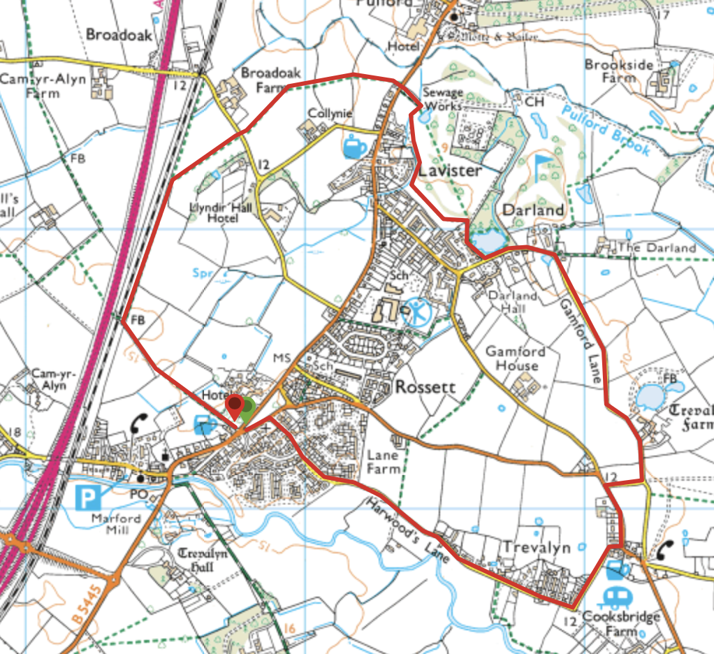
Route Description
Turn right from the Rossett Council car park and follow Station Road. At the main B5445 road, turn left and follow about 500 metres. On your left is Christ Church, and further on The Golden Lion Pub. Turn left following the footpath sign to find the stile leading to the footpath. Go over the stile and straight across the field to the stile in the corner. Cross the next 2 stiles aiming for the pedestrian railway bridge in the distance. Go over the 2 ladder stiles to join the fenced path which runs parallel with the railway line. Follow this path for about 1/2 mile, go over the stile at the end and bear half right following the waymarked footpath aiming for the stile near the telegraph pylon in the hedge.
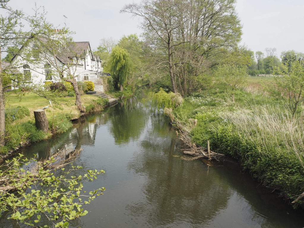
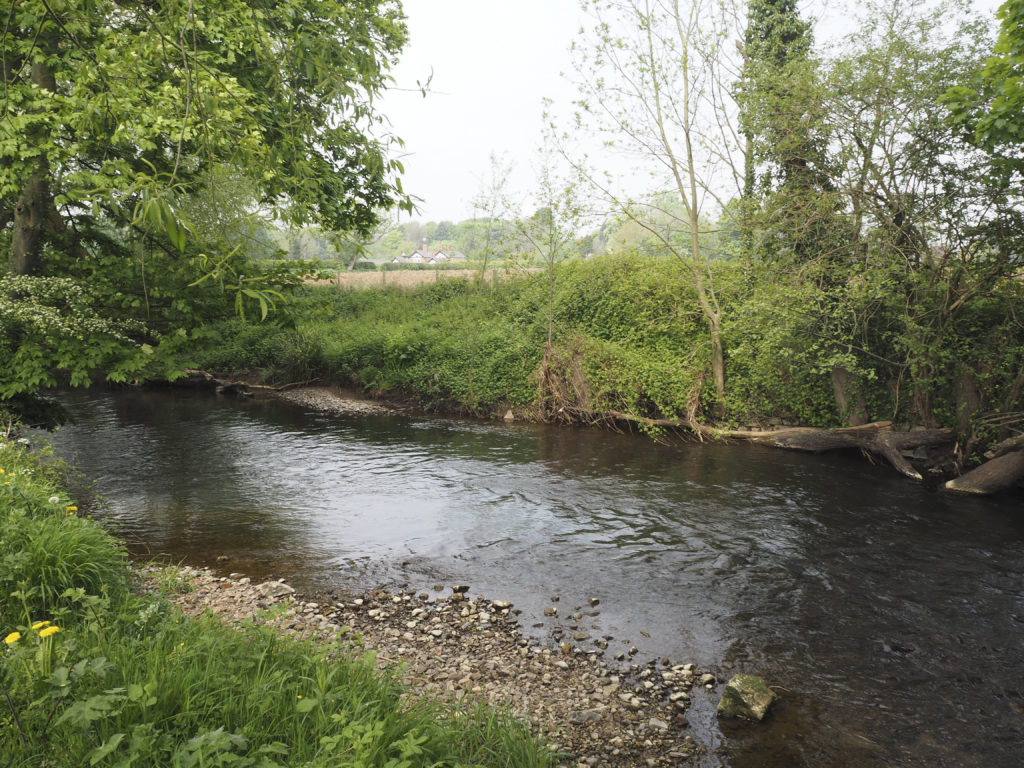
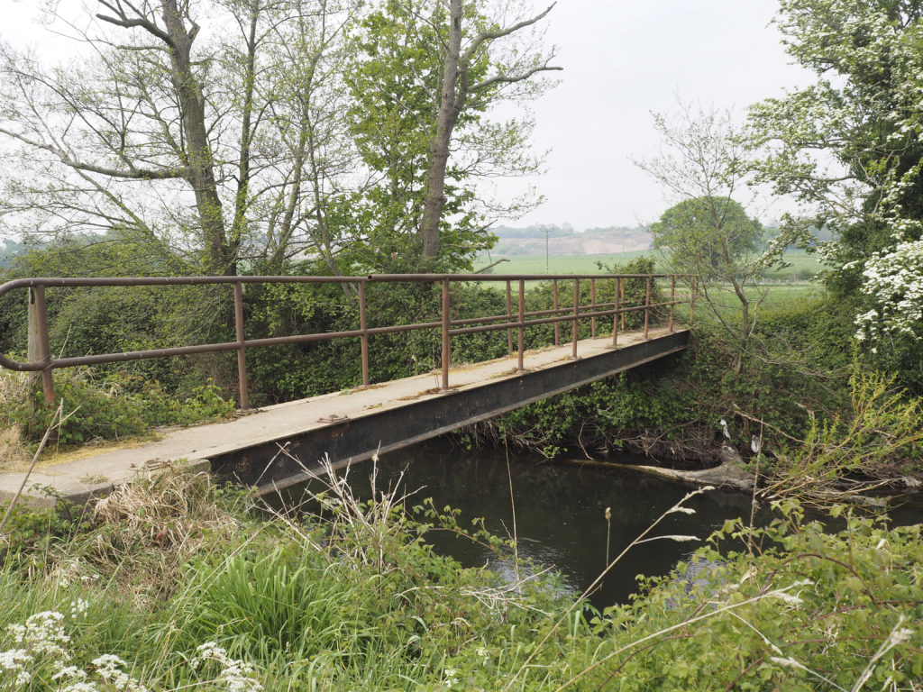
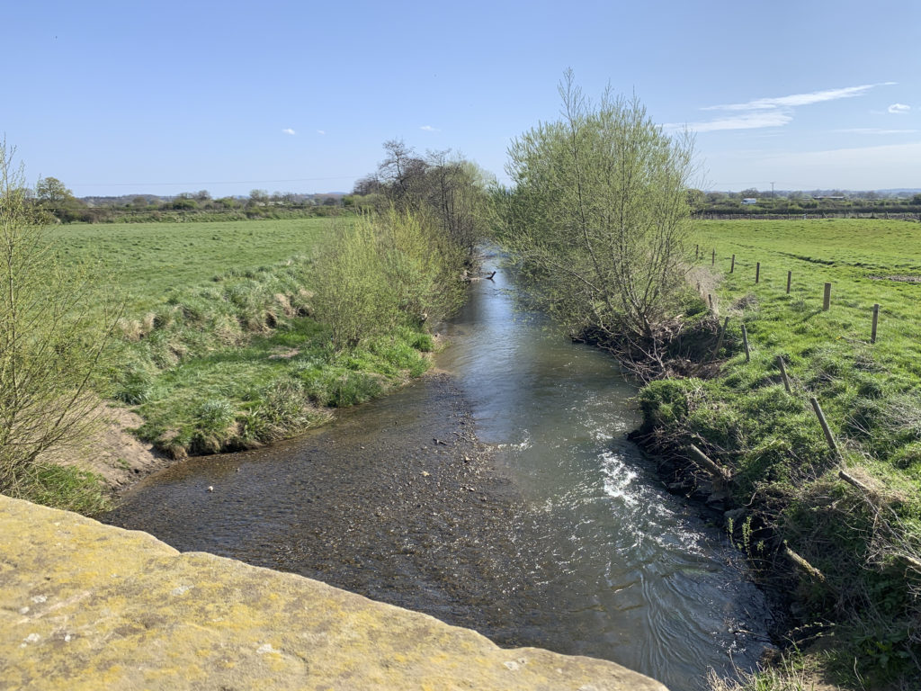
Cross the road and go over the stone steps and wall into the next field. Go directly across this field aiming to the left of Pulford Church spire which can be seen in the distance. Cross the 2 stiles and ditch bridge, go across this field slightly to your left to the gap in the hedge. Cross this next field to find a stile in the hedge to the left of the bungalow. Pulford Brook on your left is the boundary between Wales and England.
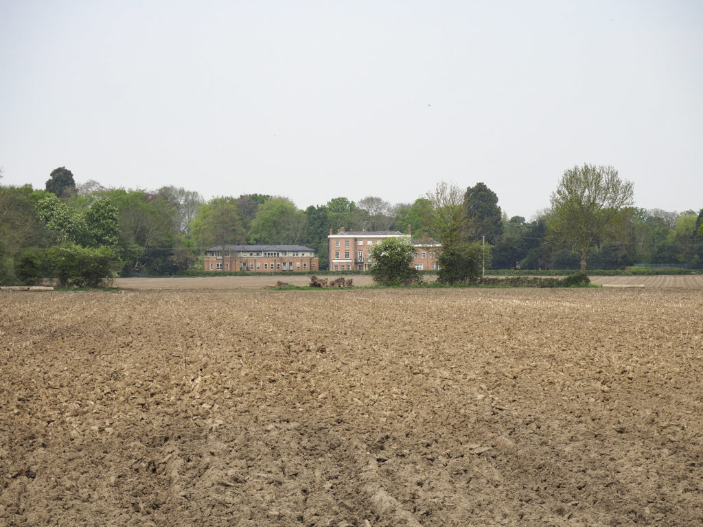
Now cross the busy B5445 road and go over the stile slightly to your right leading onto the old golf course. Follow the driveway but once over the bridge follow the signposted footpath route which runs alongside the stream (alternatively follow the hedgerow on your right). After a short distance the stream is replaced with a fenceline surrounding a housing estate. Continue to follow the well-used footpath around the edge of the golf course. Turn right where the waymarker indicates and go over the stile to follow the driveway past houses on your right and Darland Hall’s artificial lake on your left. The 18th century hall faces you once you are past the lake.
The Lake is frequented by herons, cormorants and kingfishes and breeding ground for many varieties of ducks and geese. Darland Hall was once the home of the local aristocracy the hall was requisitioned by the military for use during World War 2.
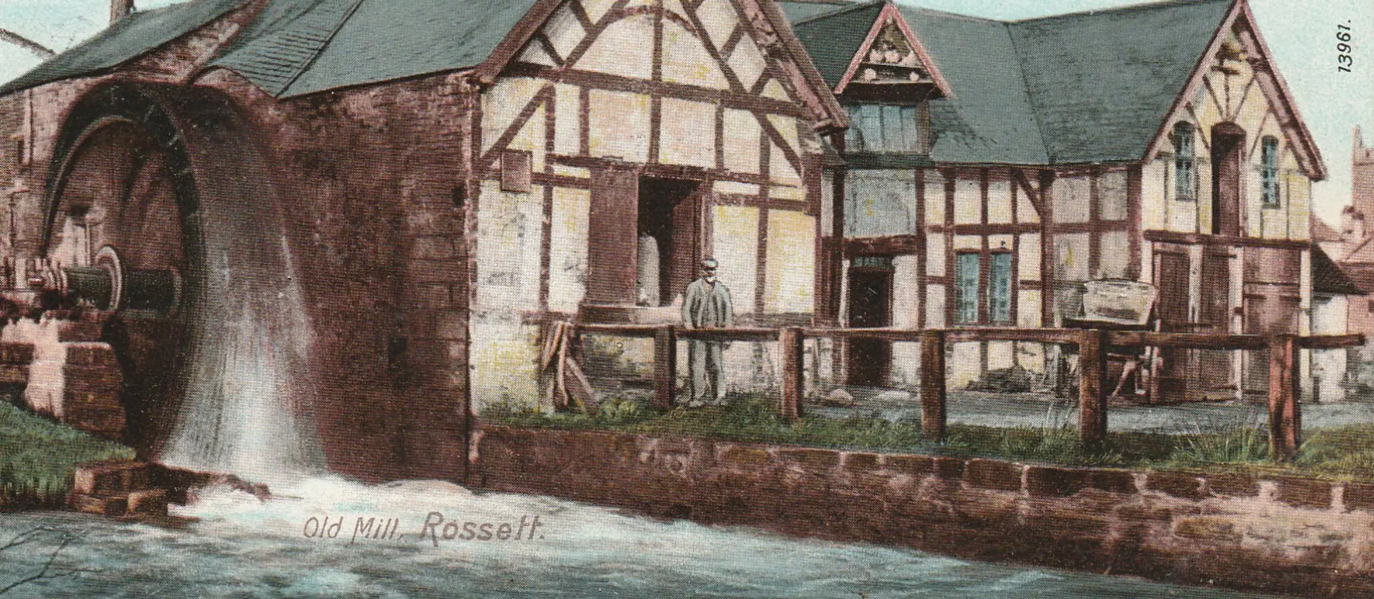
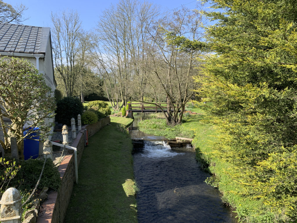
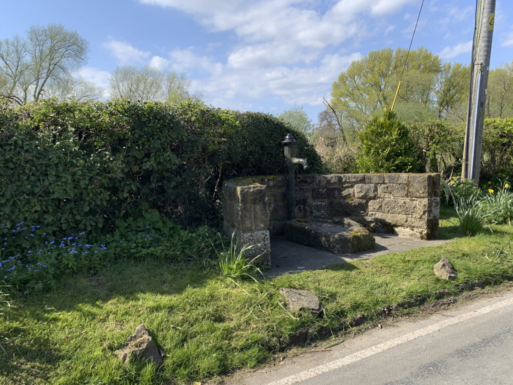
Turn left onto Darland Lane and bear right at the next junction continuing on Darland Lane. Follow the lane for approximately 1/2 mile passing Trevalyn Farm on your left. Continue right along the lane to join the B5102, turn left along the road walking single file & taking care (no footway). Just before the Griffin Inn in the village of Trevalyn turn right onto Broad Lane which then leads onto Harwoods Lane. Follow this lane for nearly 1 mile back into Rossett passing the old Water Pump on the left. At the T junction opposite the park turn left then at the main B5455 road junction bear left past the Co-op and follow this road back to St Peters Church and Station Road then retrace our steps to the car park.
A GPX file of the route can be downloaded here
More Details of This Walk at Outdooractive
4. Quiet Country Lanes – 3.8 miles (easy)
Starting from the free car park on Station Road this walk is mainly on quiet country lanes through Burton. The route is very easy to follow and should require no explaination. The final part of the walk is along the Chester Road B5445 which has paving on both sides.

A GPX file of the route can be downloaded here
More details of this walk at Outdooractive
5. Maes y Pant – 3.8 miles (easy)
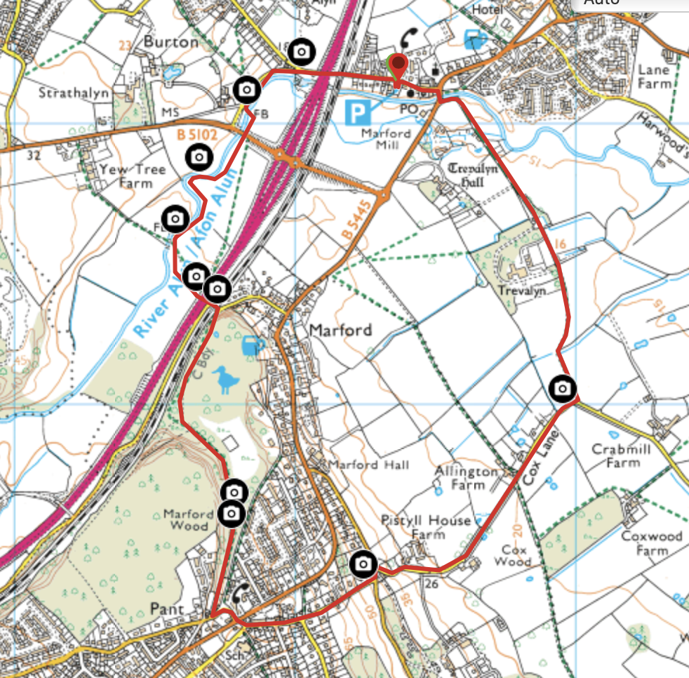
A GPX file of the route can be downloaded here
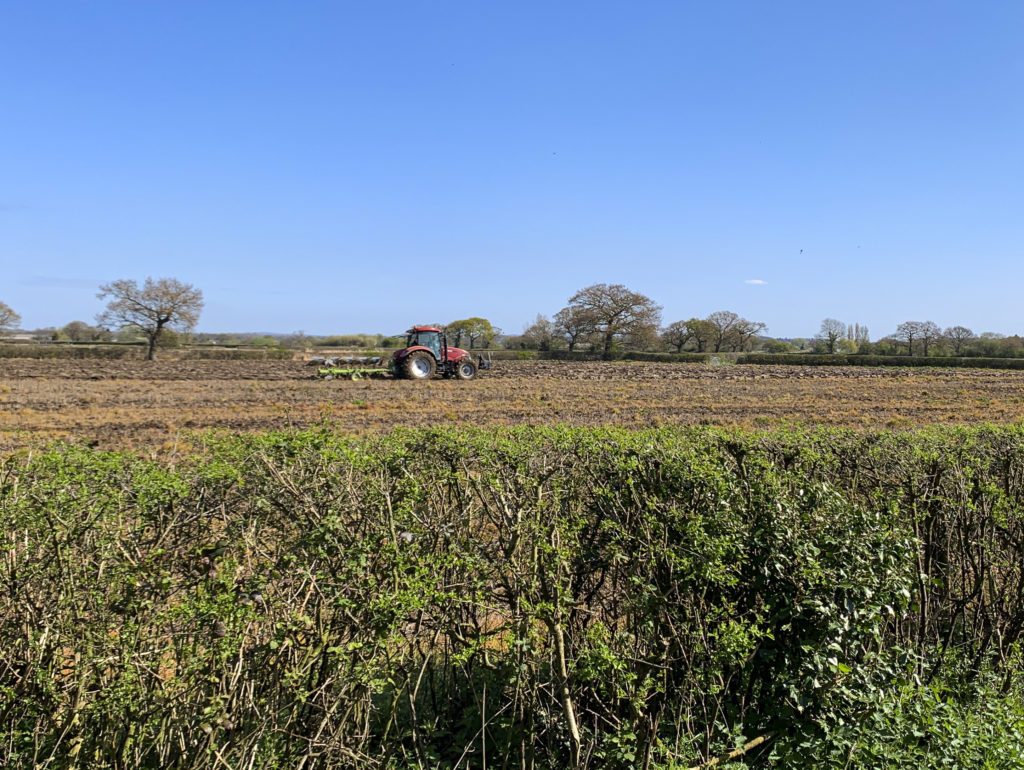
Gallery of Photographs – click any photo to commence slide show